Precision measurement, mapping and positioning for surveying and engineering
Geomatics is the foundation of modern surveying, combining precise measurement, positioning and data capture to understand and manage the physical world. From GNSS and total stations to laser scanning and digital workflows, geomatics equipment enables accurate decision-making across construction, utilities, infrastructure and land development.
This hub brings together the tools, knowledge and services used by professional surveyors — whether you’re setting out, mapping existing assets, or capturing high-density spatial data for design and analysis.
What you’ll find here
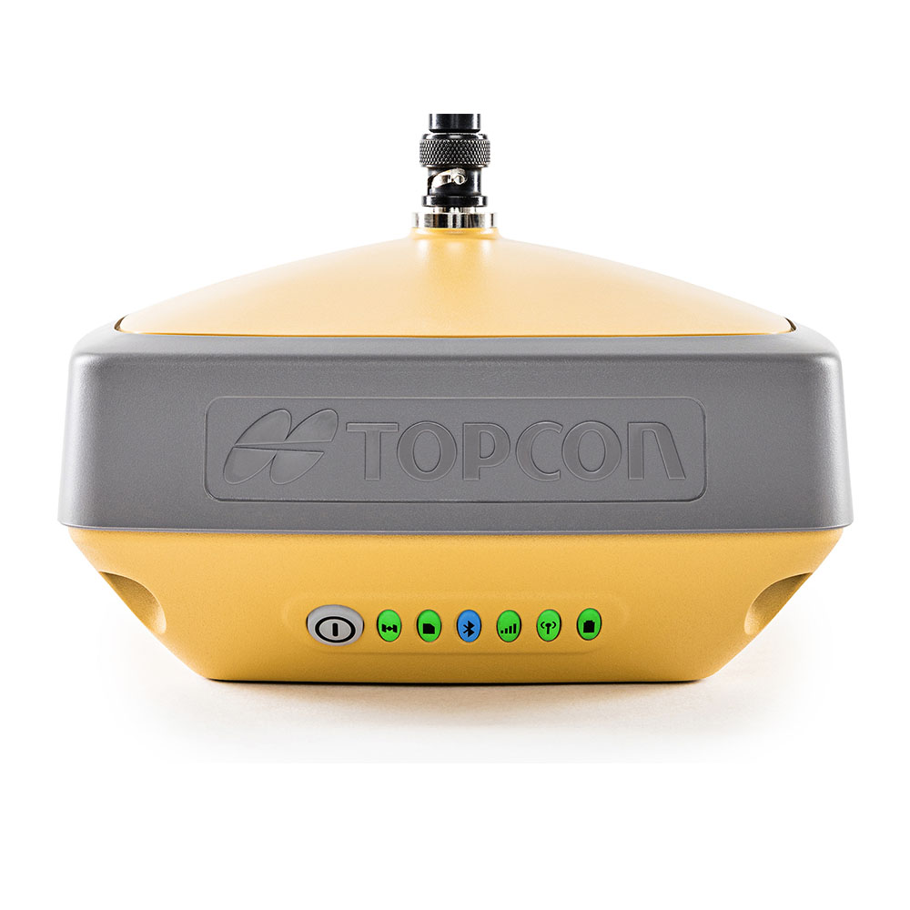
GNSS rovers, base stations and RTK solutions
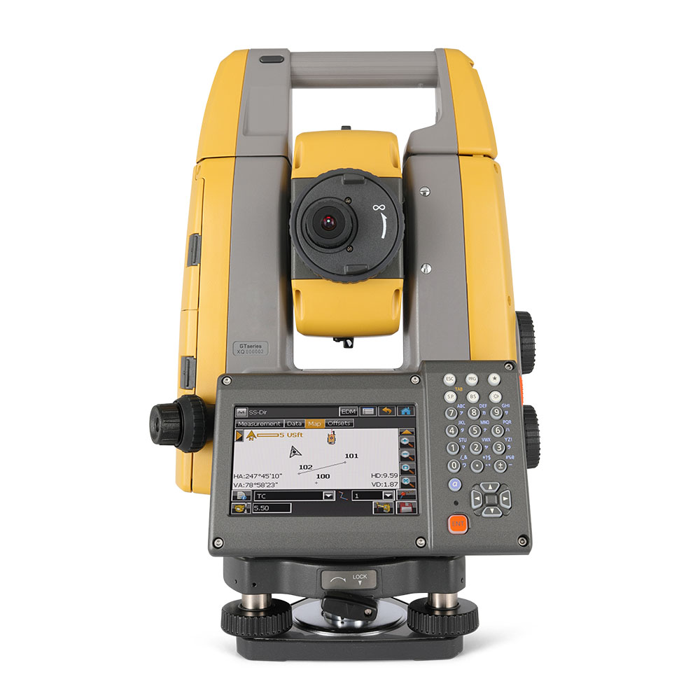
Robotic and manual total stations
3D laser scanners and reality capture tools
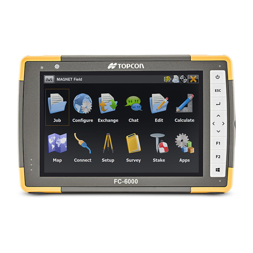
Data collectors, field software and processing workflows
Calibration, servicing and hire options
Who this is for
Land and engineering surveyors
Civil engineering teams
Utilities and infrastructure specialists
Contractors needing accurate site data
Businesses moving from traditional to digital workflows
How to use this hub
Explore equipment guides, product spotlights and practical articles explaining how geomatics tools are used on site — with links to buy, hire, service or subscribe depending on your needs.

If you only need equipment for a specific project or time period, hiring can be a practical and cost-effective option. Our hire fleet covers a wide range of equipment used across surveying, construction and utilities work.
Guides & Practical Advice
Choosing the right equipment often depends on how it will be used on site. Our guides and articles explain common workflows, key considerations and practical use cases to help you make informed decisions.
Related Areas
Not sure what you need? Speak to our team for practical advice on equipment selection, hire or servicing.