Want to find out how the CR-P1 can improve your workflows?
Book a demo with us at a time and place to suit you.
£0.00 ex VAT
£0.00 inc VAT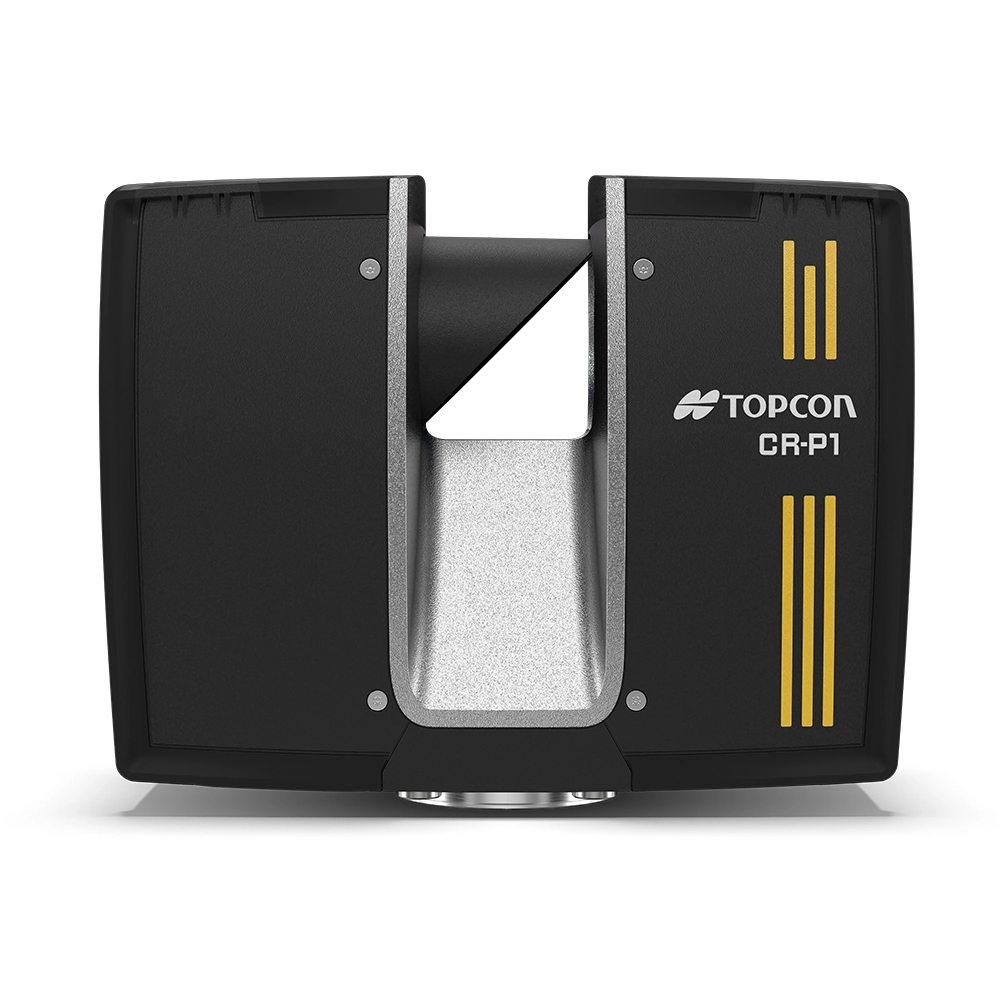
Description
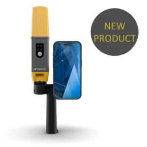
Capture Reality. Reproduce It Digitally.
The Topcon CR-P1 is a high-performance laser scanning solution designed for construction, architecture, engineering, and surveying professionals who need fast, accurate 3D data capture.
Available in two models:
CR-P1 S – 100m range
CR-P1 M – 200m range
The CR-P1 delivers high-resolution point cloud data with exceptional speed and accuracy, helping you streamline workflows, reduce post-processing time, and maintain complete control of your data.
Why Choose the Topcon CR-P1?
Ultra-Fast Scanning
2 million points per second
Rapid capture of complex environments
Reduced time on site
High Accuracy
3D Accuracy: 2mm
Distance Accuracy: 1mm
Confidently capture building interiors, façades, infrastructure, renovation sites and as-built data with precision you can trust.
Real-Time Registration
With seamless integration into Topcon Collage Site, the CR-P1 enables:
Real-time scan registration
On-site dataset processing
Immediate validation before leaving site
No more returning to site due to missed data.
Built for Site Conditions
Lightweight and durable
Designed for challenging environments
Simple, intuitive interface reduces training time
Simplified Digital Workflows
The CR-P1 is part of a complete digital ecosystem powered by Topcon Collage and Collage Web.
Enhanced Productivity
On-site data registration significantly reduces post-processing and field validation. Your team can focus on analysis and decision-making instead of file management.
No Third-Party Contractors Required
Process, register and share your point cloud data before leaving site using cloud collaboration tools. Take full ownership of your scanning workflow and reduce reliance on external processing services.
Collage & Collage Web Software
A powerful yet simple environment for managing point cloud data.
Processing Point Cloud Data
Import, view and clean collected scans
Register and geo-reference to survey control
Combine multiple mass data sets
Extracting Objects
Create and edit:
Polylines
Meshes
Edges
Planes
The region selection tool makes isolating roadways, walls, floors and ceilings simple.
Export to Industry Applications
Export clouds and objects directly into third-party design and analysis software for seamless downstream workflows.
Typical Applications
Construction progress monitoring
As-built documentation
Building design
Renovation projects
Infrastructure inspection
Structural analysis
What’s Included
Topcon CR-P1 Scanner (S or M model)
Power supply / batteries
Carry case
Manufacturer warranty
Why Buy from JB Survey?
UK technical support
Training available
Demonstrations available at our offices
Flexible finance options
Part exchange opportunities
Speak to our team today to arrange a demonstration or discuss your scanning requirements.
Technical Specifications
| Scanning Speed | 2 million points per second |
| 3D Accuracy | 2mm |
| Distance Accuracy | 1mm |
| Models Available | 100m (S) / 200m (M) |
| Software | Topcon Collage & Collage Web |
| Warranty | 2-Year Manufacturer Warranty |

Topcon CR-P1 Handheld Brochure
Topcon CR-P1 Handheld Specifications
Customisable Packages
Common packages include CR-P1S Scanner, fibreglass tripod and Collage software.
Please get in touch for package options, pricing or a demonstration.