Want to find out how the CR-S2 can improve your workflows?
Book a demo with us at a time and place to suit you.
£0.00 ex VAT
£0.00 inc VAT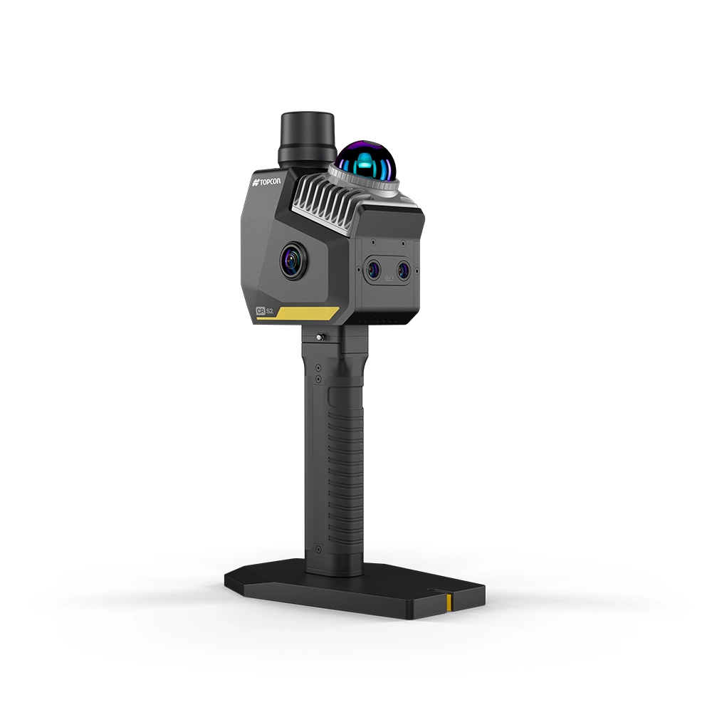
Description
Capture Reality with Unmatched Speed and Flexibility
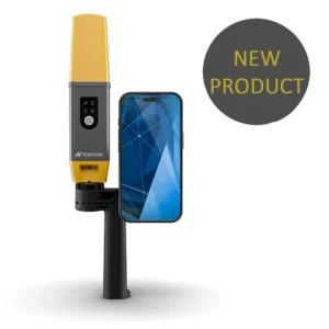
The Topcon CR-S2 is a portable, high-performance 3D mobile scanning solution designed for surveying, construction, engineering and geospatial professionals who need fast, reliable reality capture — anywhere.
Built for one-person operation, the CR-S2 delivers survey-grade accuracy with minimal setup, allowing you to collect high-fidelity point cloud data on the move.
Work faster. Capture more. Return to site less.
Why Choose the Topcon CR-S2?
True Mobile Scanning
Capture data while walking
No complex tripod setups
Ideal for restricted or difficult access environments
Designed for one-person operation
Perfect for tunnels, urban environments, stockpiles, infrastructure, underground spaces and accident scenes.
Multi-Sensor Fusion for Reliable Accuracy
The CR-S2 combines:
MLF-SLAM (Multiple Localization Fusion SLAM)
VSLAM (Visual SLAM)
RTK-SLAM
LiDAR
IMU
GNSS
4 integrated cameras
This advanced fusion approach delivers centimeter-level accuracy, even where GNSS signals are weak or unavailable.
You get stable, colourised, high-density point clouds in a single workflow — reducing rework and return visits.
Portable, Powerful, Built for Speed
The CR-S2 provides immediate value through:
Lightweight portable design
Quick-swappable battery
Easy GCP collection
Real-time mesh + panoramic capture
Exportable earthwork calculations
From stockpile measurement to large-scale 3D modelling, the CR-S2 supports a wide range of professional applications.
Seamless End-to-End Workflow
Unlike traditional scanning solutions requiring multiple devices and extensive post-processing, the CR-S2 delivers:
Data collection
Processing
Delivery
All powered by advanced fusion algorithms and robust hardware.
The result? Faster fieldwork and consistent, survey-grade results on every project.
Field & Desktop Software Integration
The CR-S2 integrates with Topcon’s software ecosystem:
MAGNET Flow (Field Software)
Compatible with Android and iOS
Collection control and project management
Real-time point cloud browsing
Firmware upgrades
MAGNET Bridge (Desktop Processing)
SLAM data processing workflow
Continuous algorithm improvement
Length, area and volume calculations
Orthophoto creation for true-scale imagery
A complete reality capture solution from field to finished deliverable.
Typical Applications
Topographic mapping
Infrastructure assessment
Underground space measurement
Accident investigation
Urban mapping
Forestry and environmental surveys
Stockpile volume calculations
Large-scale 3D modelling
Key Features at a Glance
LiDAR-based mobile scanning
4 integrated cameras
GNSS integration
Quick-swappable battery
Easy GCP collection
Real-time colourised point cloud
Survey-grade accuracy
Technical Specifications
| Scanning Speed | 200,000 points per second |
| Absolute Accuracy | <3 cm |
| Relative Accuracy | <2 cm |
| Lidar Accuracy | 2 cm |
| Battery Life | 2 hours |
| Weight | 1.3kg |

Topcon CR-S2 Handheld Brochure
Topcon CR-S2 Handheld Specifications
Customisable Packages
Common packages include CR-S2 Mobile Scanner, Magnet Bridge Software and RTK Network License.
Please get in touch for package options, pricing or a demonstration.