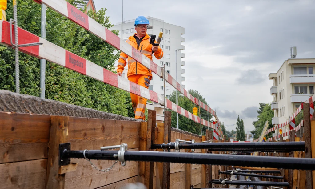
Topcon CR-H1 LiDAR: Fast Utility & Site Mapping Explained
The Topcon CR-H1 is a handheld LiDAR mapping tool designed for fast, accurate reality capture on construction and utilities sites. It offers a simple way to collect 3D data without the complexity, cost, or training overhead of a full terrestrial laser scanner. Built for surveyors, utilities engineers, groundworkers and digital-as-built teams, the CR-H1 fills…
Read more
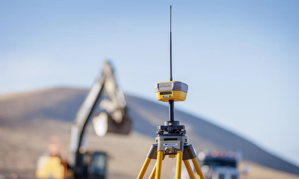
Do You Need a GNSS Rover — or a Base & Rover? A Practical Guide for Engineers
Choosing the right GNSS setup is one of the most common challenges for site engineers, surveyors and contractors. You hear the terms rover, base and rover, network corrections, RTK, PPK — and you’re expected to know which combination is right for the job, the accuracy required, and the conditions you’re working in. A simple…
Read more