Topcon CR-H1 LiDAR: Fast Utility & Site Mapping Explained
- by admin
- in Geospatial Series, Product Spotlight Series
- on December 29, 2025
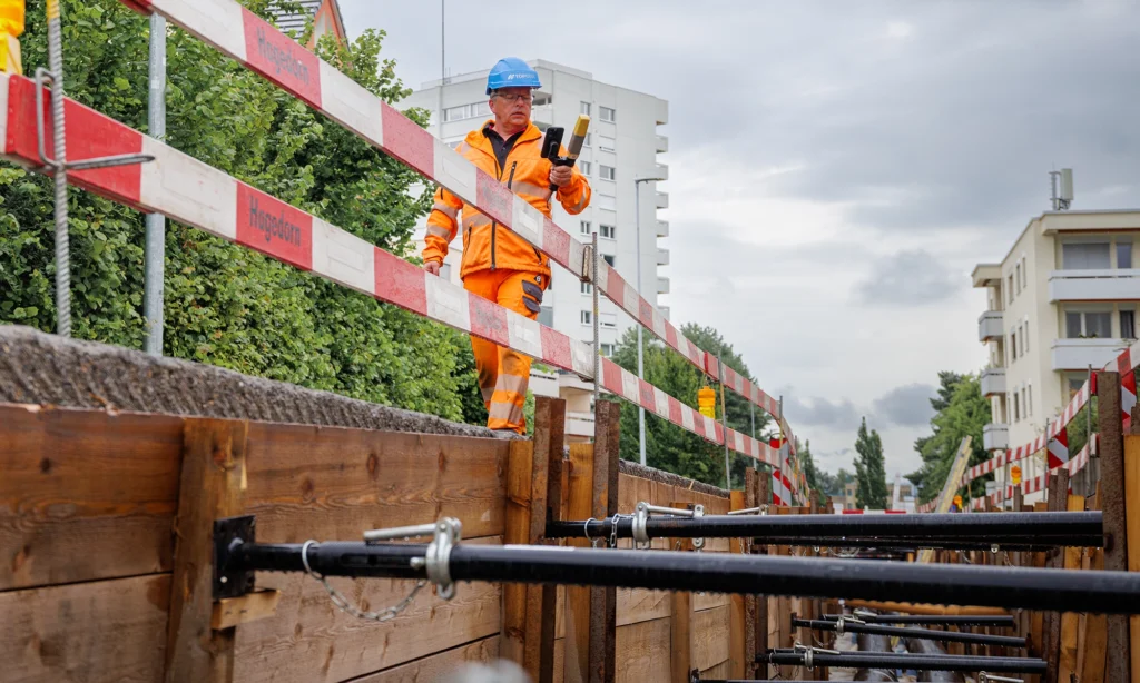

The Topcon CR-H1 is a handheld LiDAR mapping tool designed for fast, accurate reality capture on construction and utilities sites. It offers a simple way to collect 3D data without the complexity, cost, or training overhead of a full terrestrial laser scanner.
Built for surveyors, utilities engineers, groundworkers and digital-as-built teams, the CR-H1 fills the gap between traditional GNSS measurements and full scanning workflows—making 3D capture accessible to field teams who don’t specialise in scanning.
What the Topcon CR-H1 Actually Does
The CR-H1 is a handheld SLAM (Simultaneous Localisation and Mapping) LiDAR unit that:
- Captures 3D point clouds while you walk
- Maps above-ground and exposed utilities
- Records features, structures, chambers, trenches and small site areas
- Georeferences the data using GNSS or control points
- Produces usable 3D models for design, validation, and as-built documentation
Think of it as:
a practical, field-ready alternative to a full terrestrial scanner for everyday utility and construction mapping.
Key capabilities:
- SLAM LiDAR for indoor/outdoor mapping
- Simple one-button workflow
- Real-time feedback during capture
- Integrates with Topcon’s survey and construction software
- Lightweight, rugged, and easy for non-scanner operators
- Ideal for “grab-and-go” 3D mapping
Who the CR-H1 Is Best Suited For
Ideal for:
✔ Utilities teams
Mapping chambers, manholes, pipe routes, street furniture, trenches and exposed services.
✔ Surveyors
Rapid 3D context capture to supplement GNSS or TS observations.
✔ Groundworks & civil engineering
Quickly document excavations, retaining walls, foundations, as-builts and site conditions.
✔ Construction QA / verification
Record pre-pour conditions, underground works, or structural elements.
✔ Digital workflows
Teams building towards BIM, digital twins, or record drawings.

Real-World Use Cases
1. Utilities As-Builts
Capture full geometry of pipe runs, chambers and ducting before backfill—far quicker than manual sketches.
2. Trench & Excavation Documentation
Record depth, profile, and location of exposed utilities during groundworks.
3. Small Site or Localised Scanning
Ideal when a full terrestrial scanner is too slow, heavy or expensive for the job.
4. Infrastructure Inspections
Capture retaining walls, culverts, headwalls, underpasses or confined spaces.
5. Design Verification
Overlay the point cloud with design data to confirm compliance.
6. Supplementing GNSS / Total Station
Fill in the “detail gaps” that surveying instruments can’t capture efficiently.
What the CR-H1 Solves
- Slow manual measurements → full 3D capture in minutes
- Missing detail in surveys → continuous, complete point cloud
- High cost of TLS scanners → far more affordable hardware
- Training requirements → easy for non-survey specialists to use
- Incomplete utility documentation → accurate as-builts before trenches are closed
It reduces survey revisit time, improves data completeness, and speeds up production of drawings/models.
Limitations to Be Aware Of
The CR-H1 is powerful, but it isn’t a replacement for every scanner type:
⚠ Not a high-precision terrestrial scanner
If you need millimetre accuracy, a GLS-2200 or CR-P1 is better.
⚠ Not ideal for very large-area scanning
Handheld SLAM has drift over long walks.
⚠ LiDAR cannot see underground
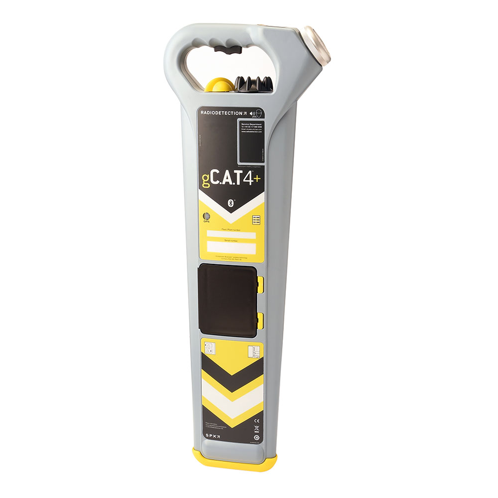
It maps visible surfaces—utilities mapping still requires GPR for buried assets.
⚠ Requires good technique
SLAM devices rely on steady walking paths and coverage.
Comparing alternatives:
| Requirement | Better Option | Why |
| High-accuracy engineering scans | Topcon GLS-2200/CR-P1 | Survey-grade, long-range accuracy |
| Extensive indoor scanning | GeoSLAM Zeb series | Optimised for SLAM + large interiors |
| Underground utility detection | Radiodetection / GPR | CR-H1 only scans visible surfaces |
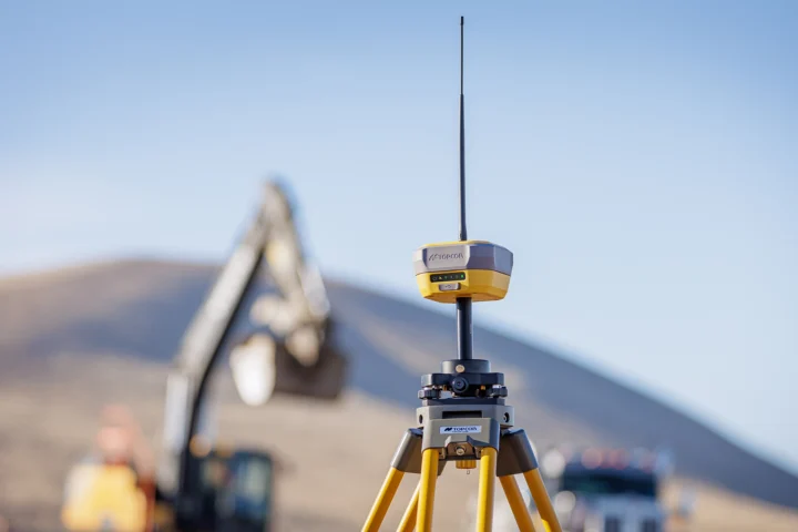
| Simple measurements only | GNSS/TS | Lower-cost if you don’t need full 3D context |
Service, Calibration & Reliability
Handheld LiDAR is generally low-maintenance, but real-world feedback shows:
- Units should be checked annually for calibration drift
- Field teams must avoid knocks to the sensor head
- Battery health affects runtime over time
- Storage and moisture exposure can impact performance
From a service perspective, handheld scanners typically cost less to inspect than full TLS units.
Should You Hire, Buy, or Subscribe?
Buy
Best for survey/utility teams who need regular 3D capture and want full ownership.
Hire
Ideal for:
- One-off scanning jobs
- Filling capability gaps
- Backup when primary scanners fail
SurveyPlan
Great option if you want:
- Fixed monthly cost
- Included servicing
- Upgrade cycles
- Swap-out units if yours is damaged
Verdict: Why Choose the Topcon CR-H1
Choose the CR-H1 if you want:
- Fast, simple, accurate 3D capture
- A rugged handheld mapper that doesn’t require specialist training
- Affordable reality capture for utilities, civils and small-site work
- A reliable way to improve as-built data quality
Avoid it only if you need survey-grade accuracy or large-area long-range scanning.
Need Support?
JB Survey can help:
Demonstrations
Arrange an on-site demonstration or training for the CR-H1 or any other scanner at a time that suits you
Hire for GNSS packages
Topcon CR receiver and the handle available to collect same day from either of our branches. Next day delivery UK wide as standard
In-house calibration and testing
JB Survey are an authorised Topcon distributor and service centre - We can also support any warranty issues
Subscription hire options through SurveyPlan
Why not hire through our new subscription service. Set monthly rate and priority support included